Geo-News 365
Volume 2 | 2016
Date: April 2016
Make Spatial Sense… “Manage your data to empower your business by obtaining valuable information with our Spatial Statistics Training Course.”…

Date: May 2016
Top 10 Reasons to use a File Geodatabase… “A scalable and speedy choice for single users or small groups”…
Date: June 2016
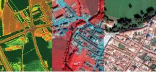
We project raster datasets on the fly…What does that mean?… “ArcMap can display data stored in one projection as if it were in another projection”…

Date: July 2016
Get social. Ask questions “Always wanted to find out more about Esri technology that you see in the marketing videos”…