Geo-News 365
Volume 3 | 2016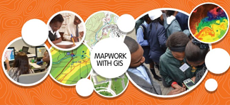
Date: August 2016
FundaLula aims to develop geospatial critical thinking, reasoning, investigative & creative skills that learners can use in all areas of their lives…
Date: September 2016
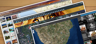
Create powerful and compelling storymaps with these easy to use guidelines. These storymaps can include text, audio, video, photographs…
Date: Ocktober 2016
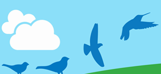
To effectively plan for how to best conserve birds and their habitats, BirdLife South Africa makes extensive use of maps and GIS (Geographic Information Systems)….
Date: November 2016
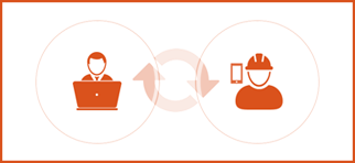
Workforce for ArcGIS is a mobile solution that enables location-based decision making for better field workforce coordination and teamwork…